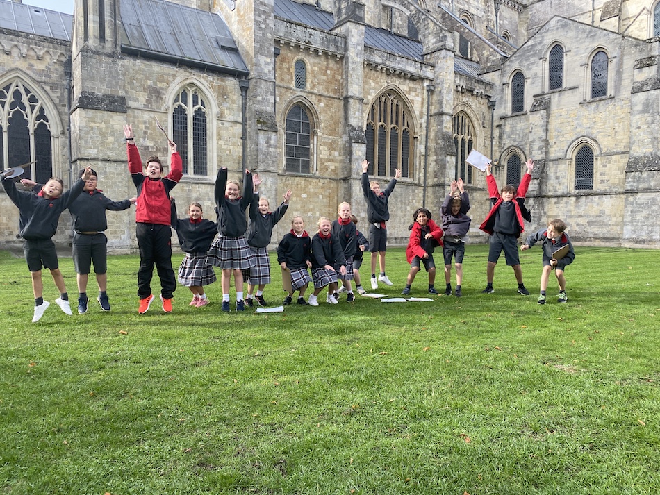
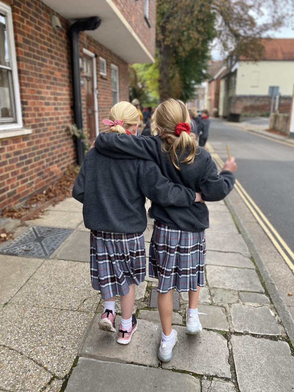
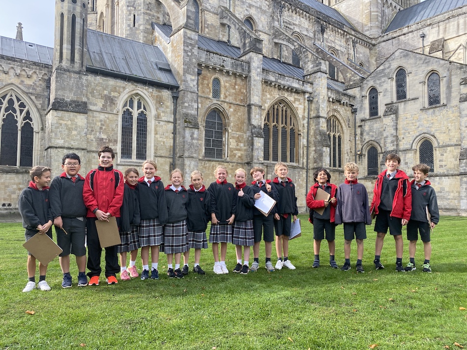
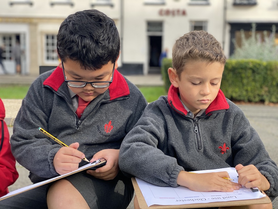
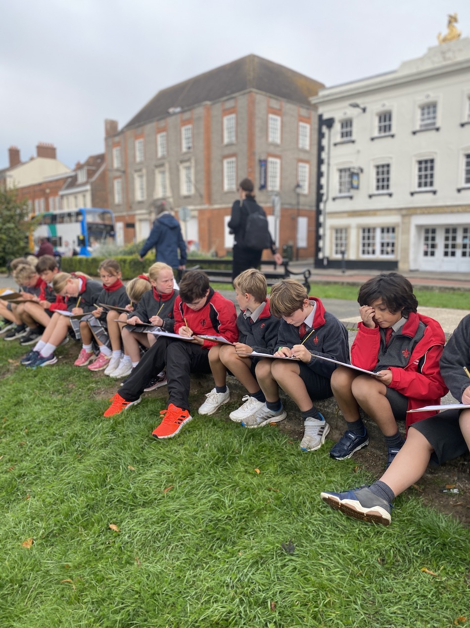
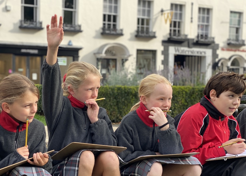
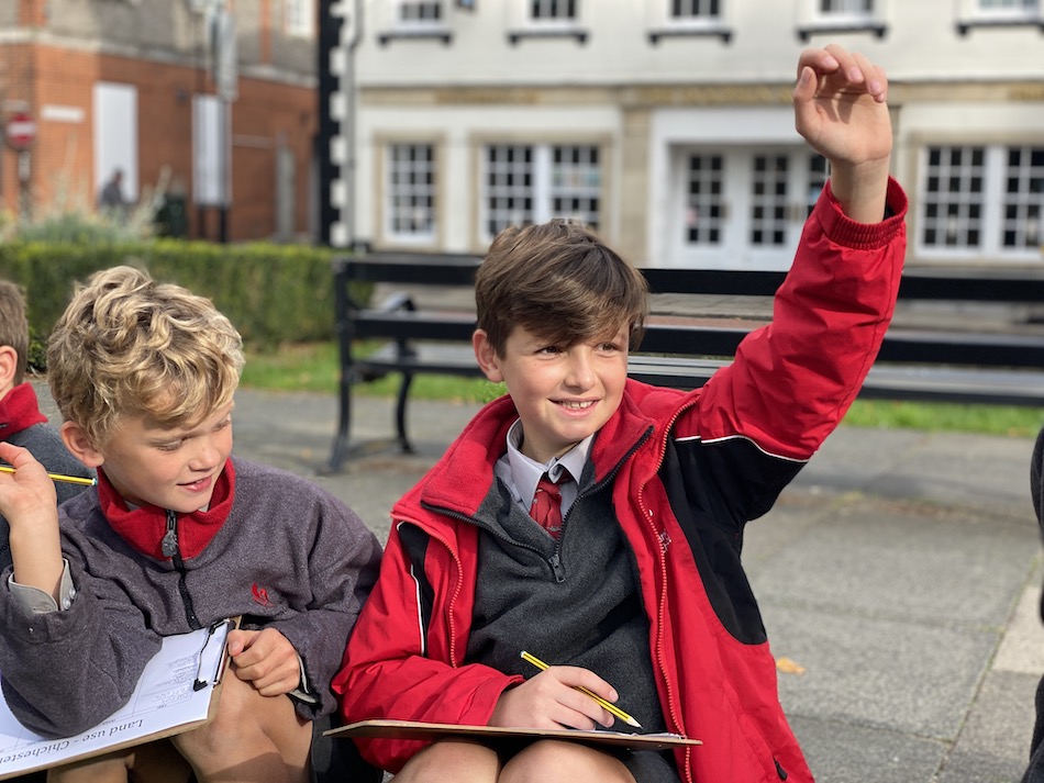
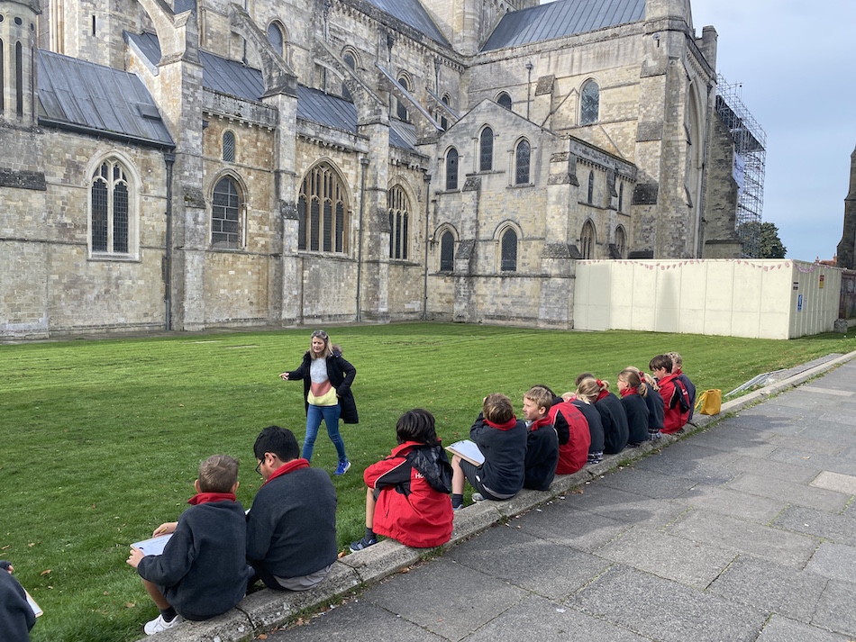
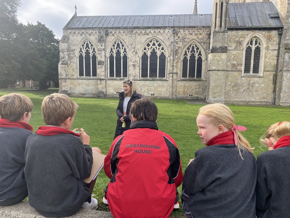
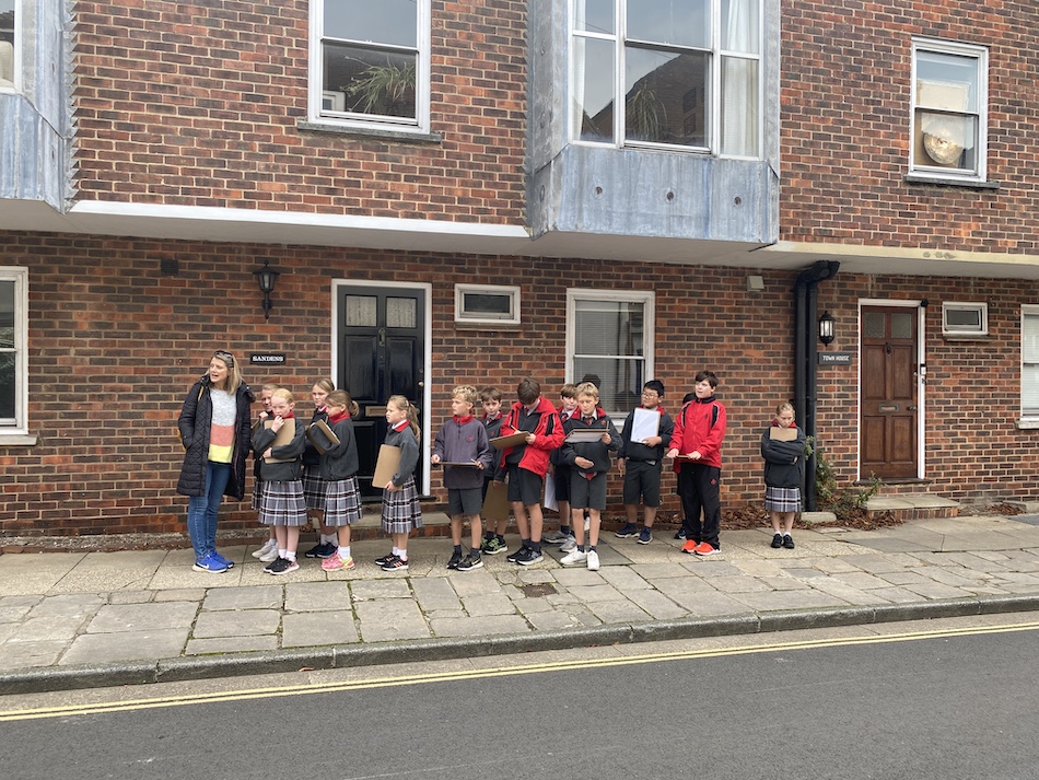
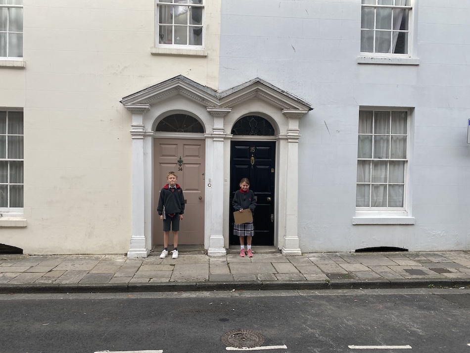
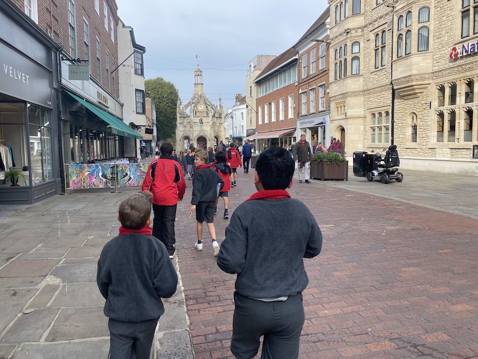
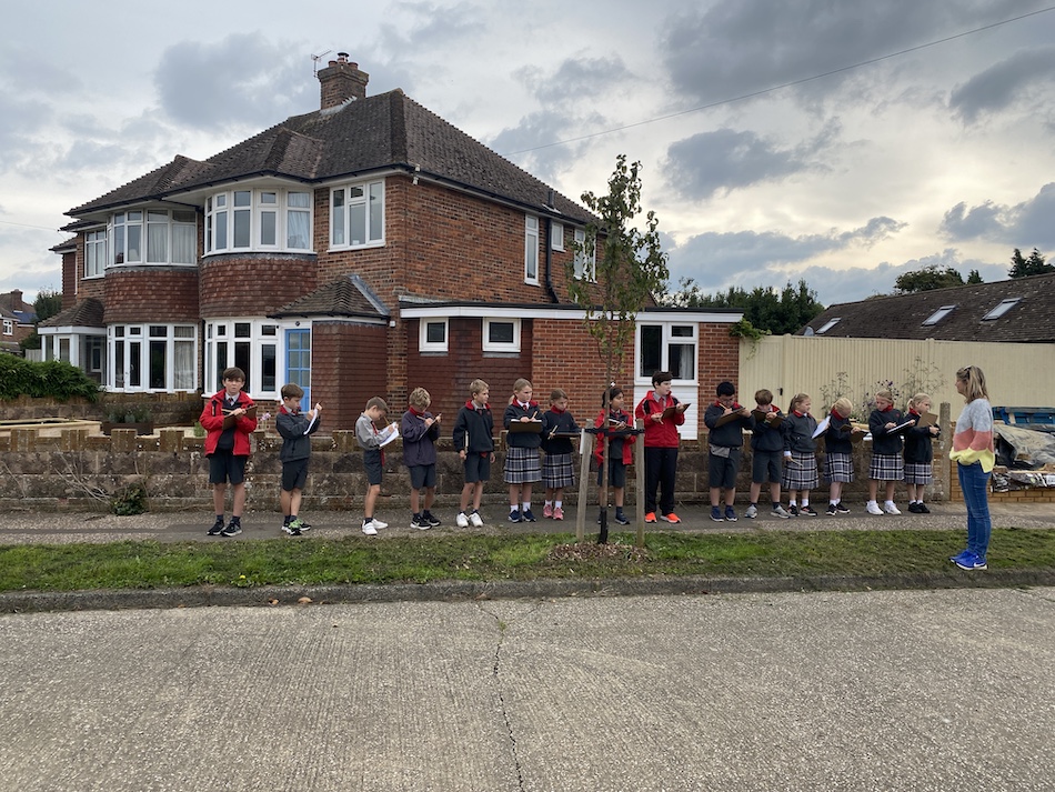
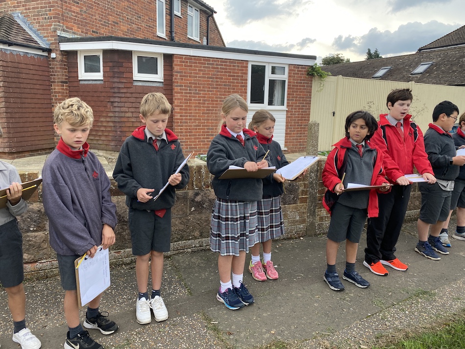
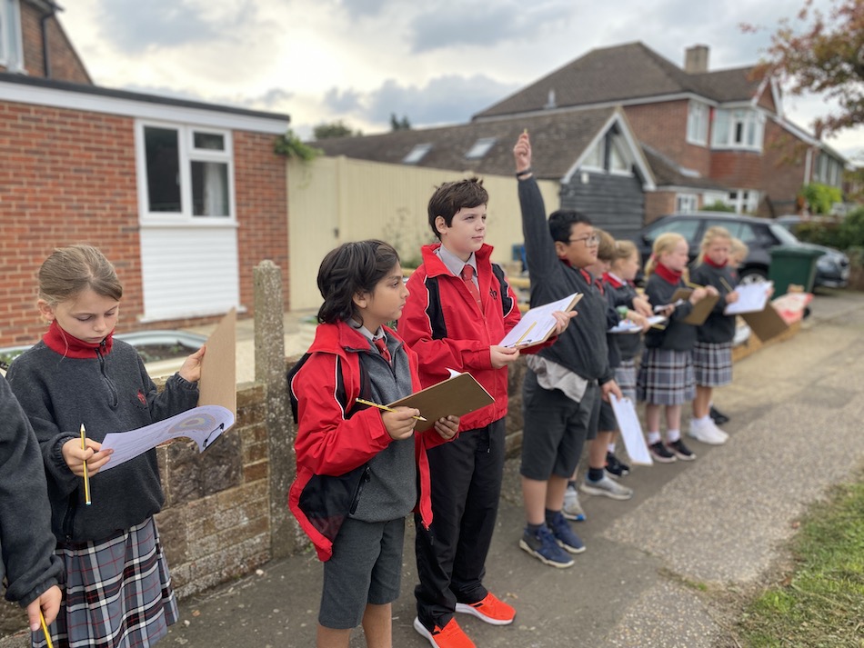
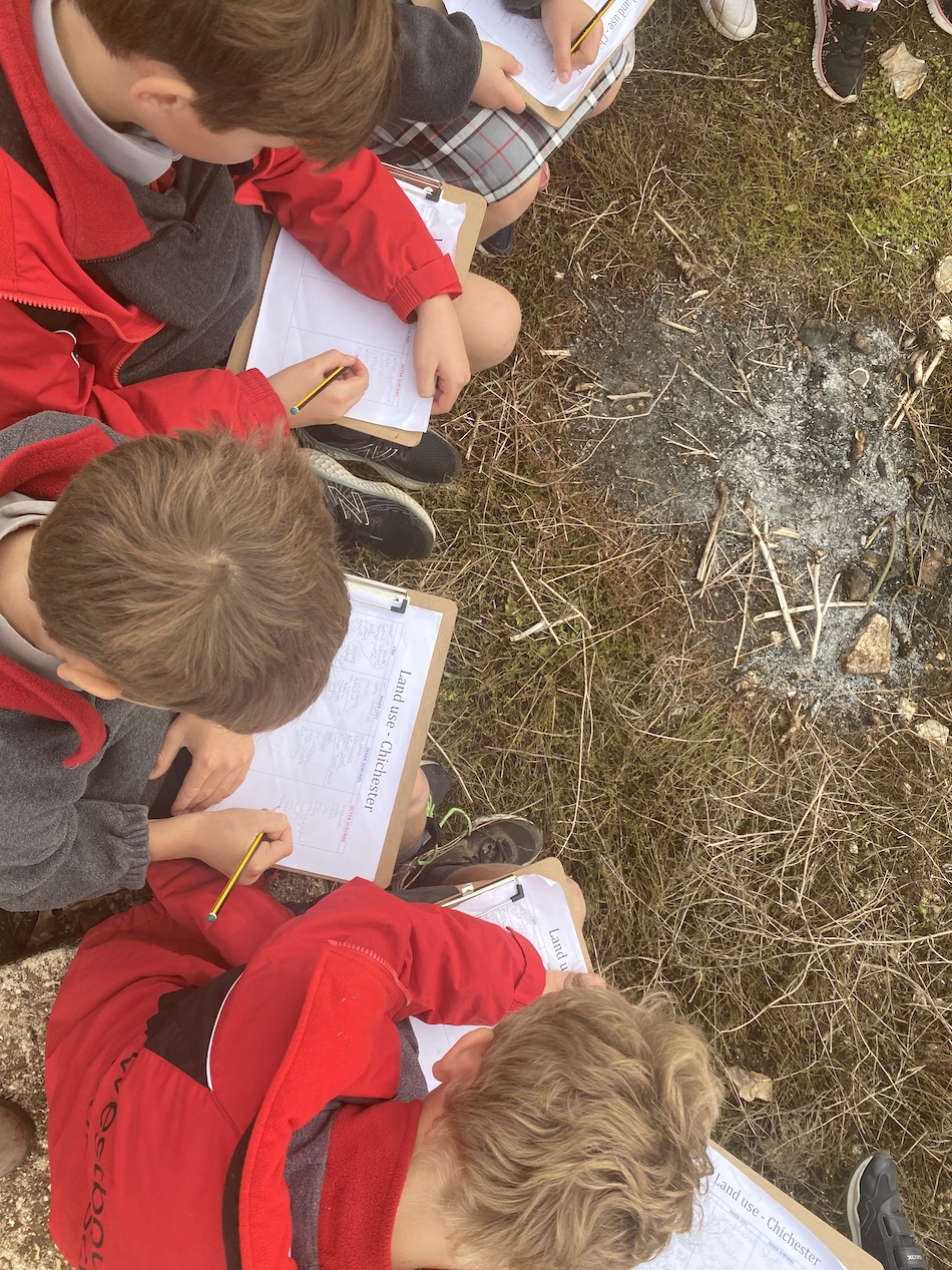
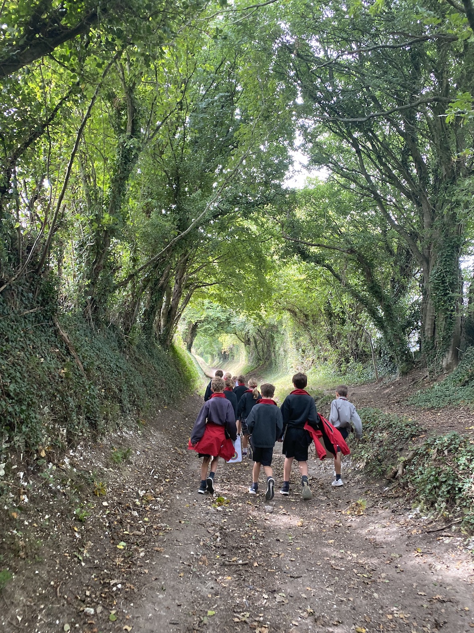
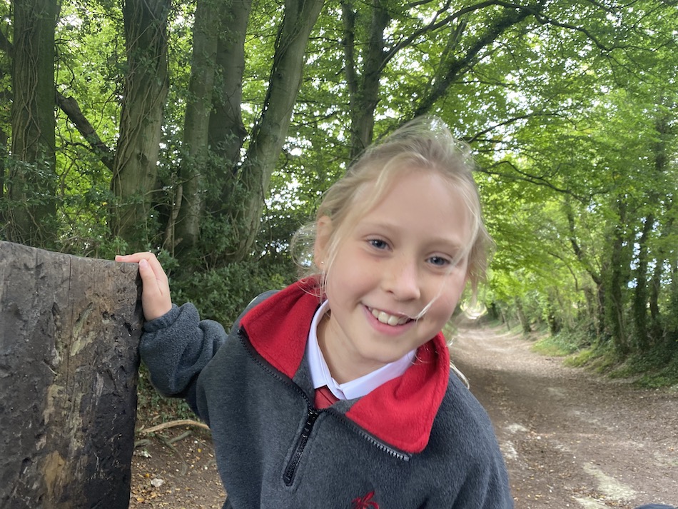
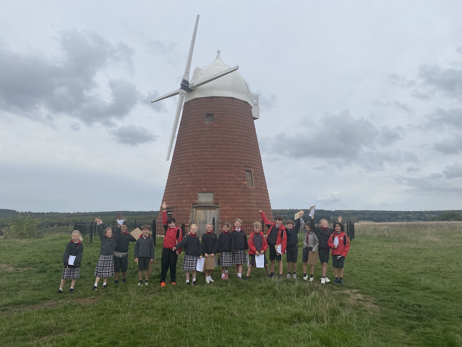
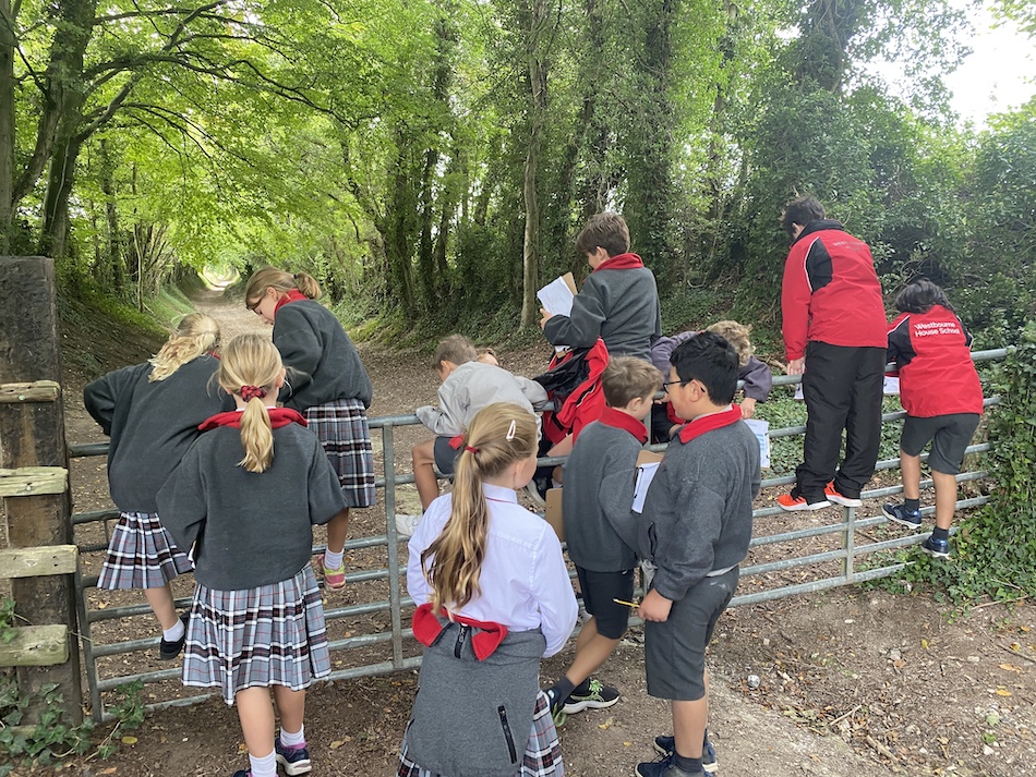
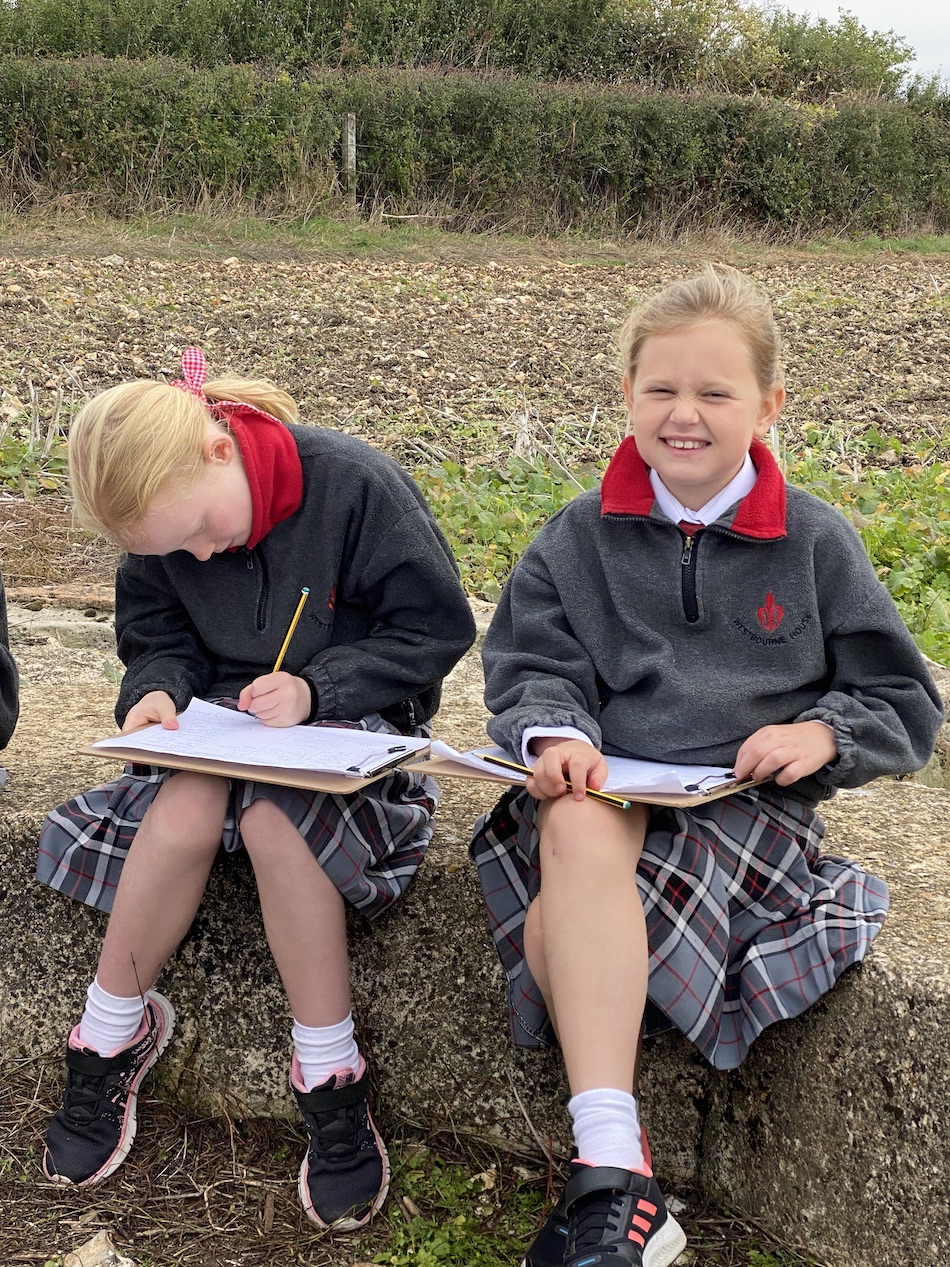
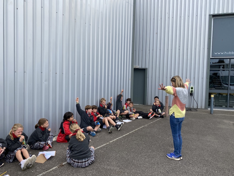
This year Mrs Armitage, Head of History, joined the Year 5s on their geography land use survey, taking the children around Chichester to enable them to look at our city with new eyes and create a land use map from Central Business District to outer suburbs and countryside at Halnaker.
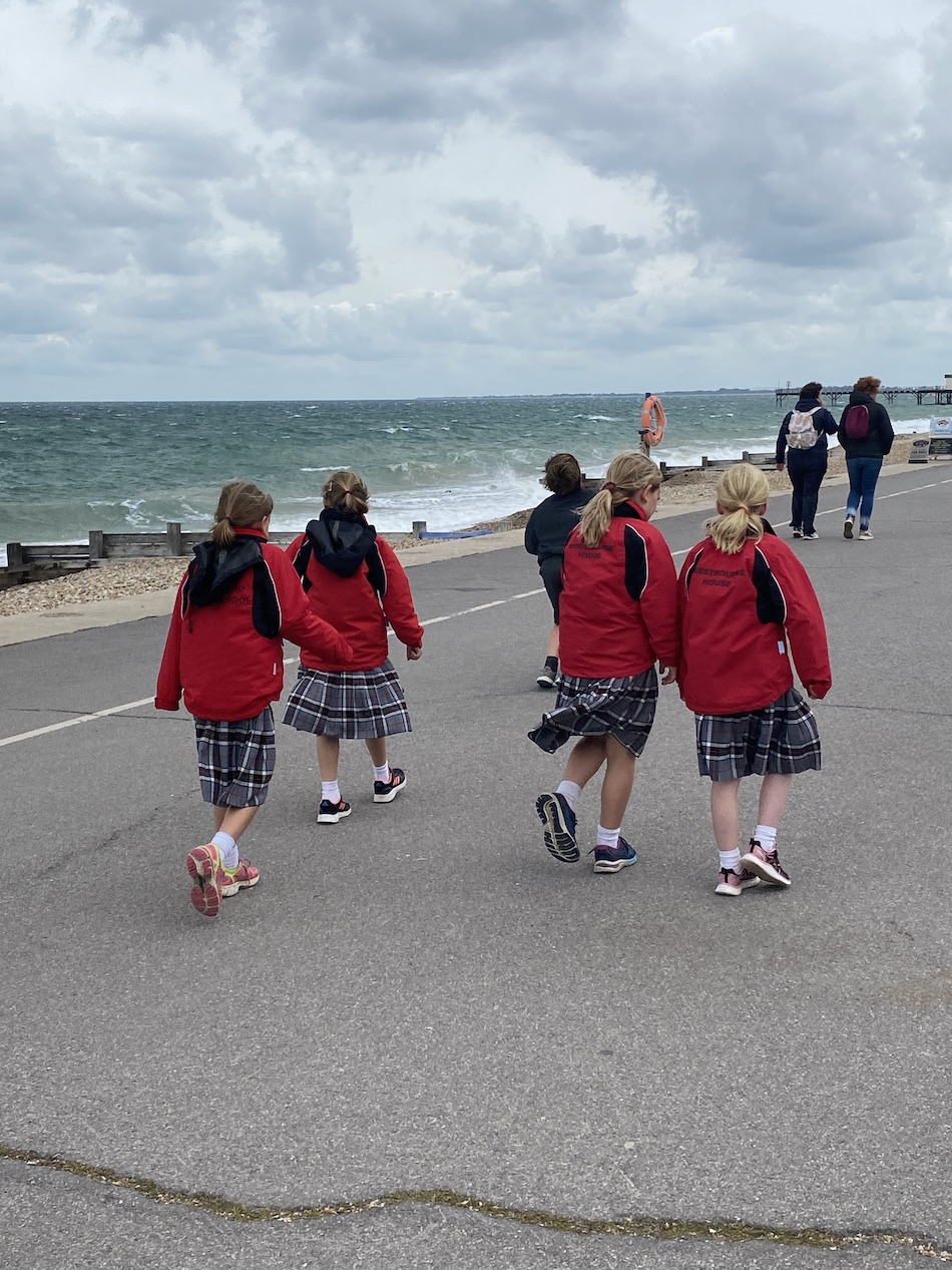
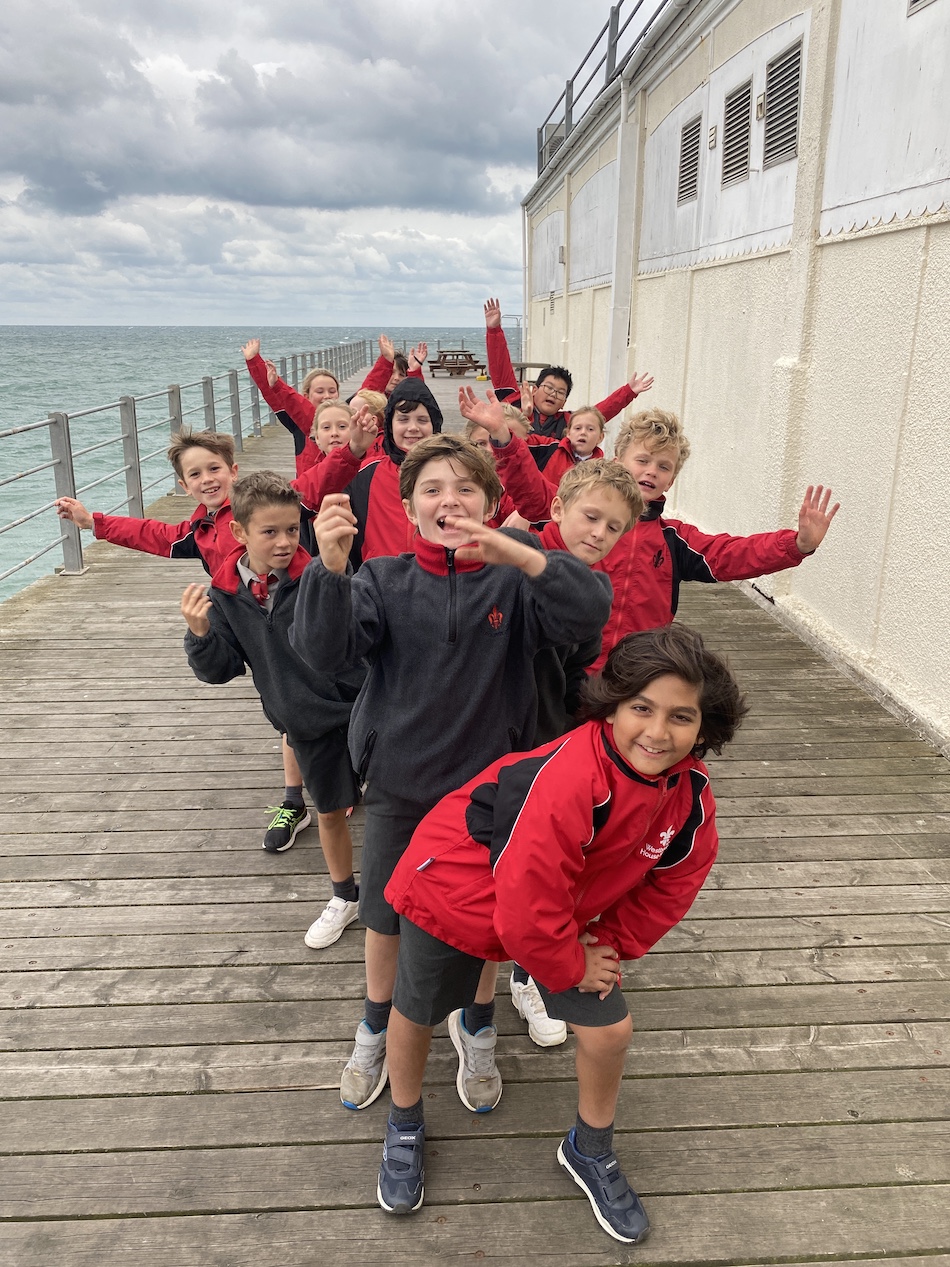
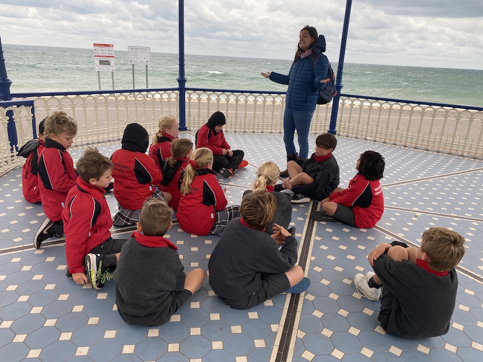
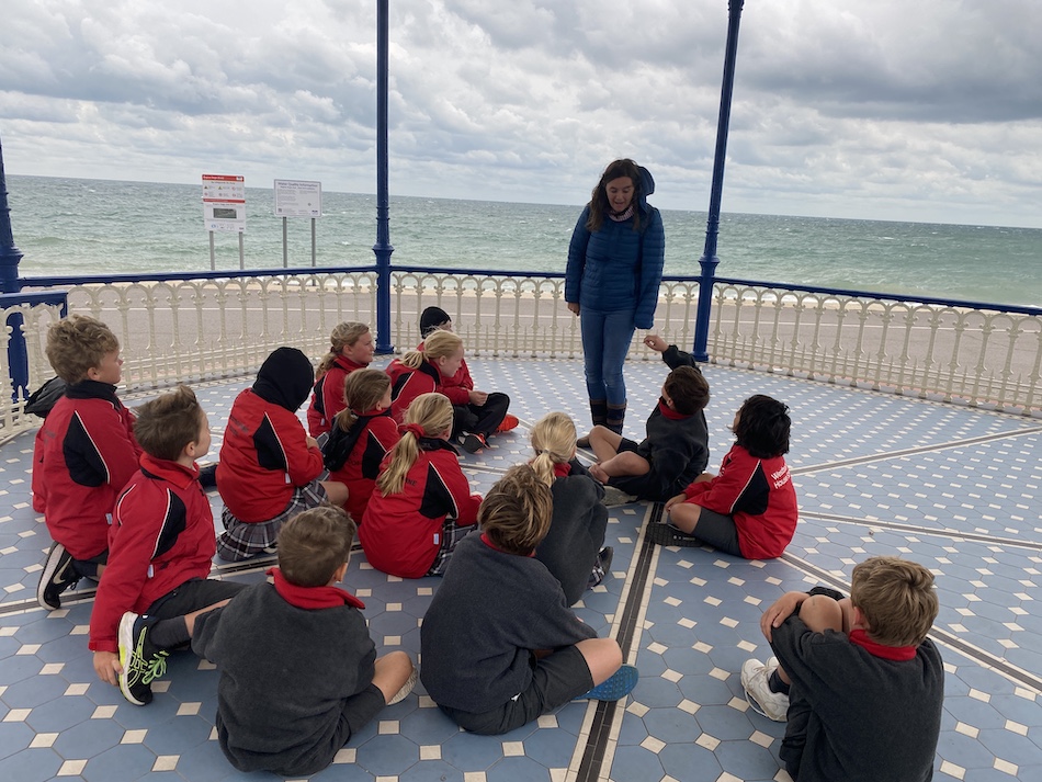
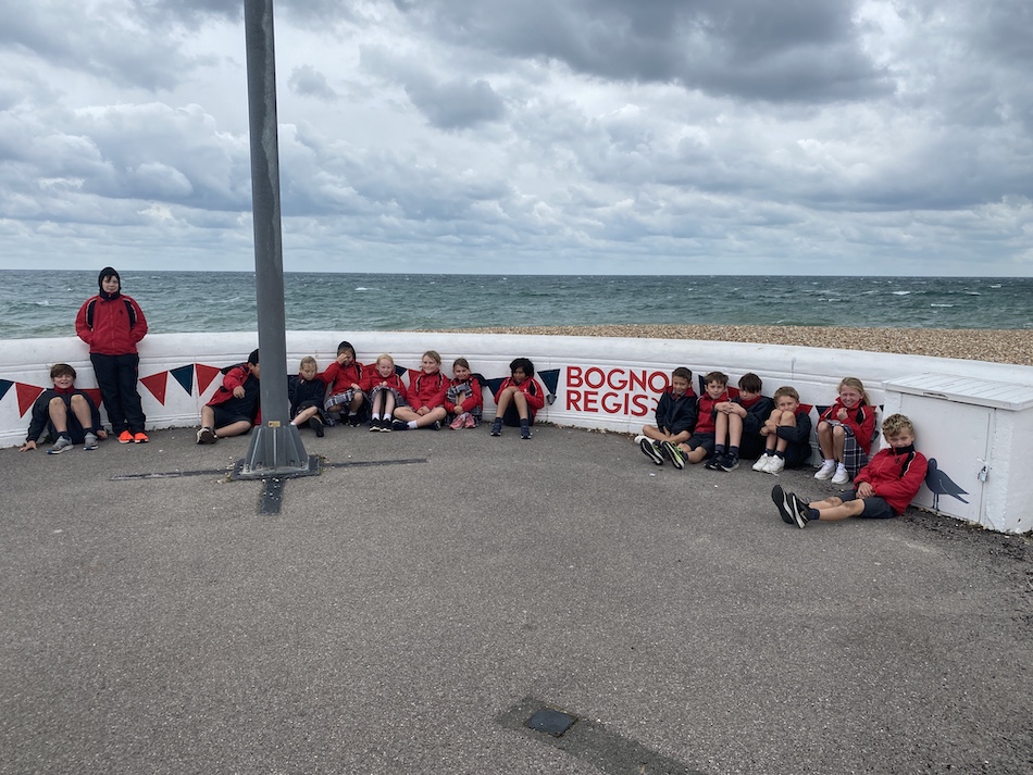
After a quick lunch stop back at school, the team headed out again, this time going to the sea front at Bognor Regis. The idea was to provide some context for Year 5’s topic on Victorian Britain where the children are finding out all about seaside holidays.
"It was so exciting to be able to show the children a bandstand, pier and promenade. Despite the wind, we attempted to walk like Victorians along the promenade!"
Mrs Armitage